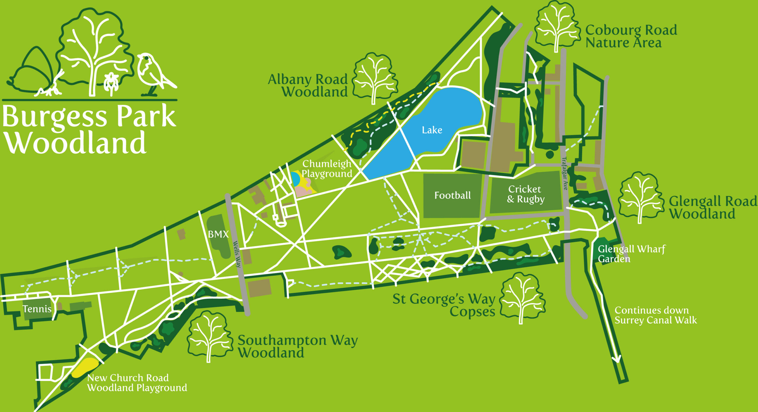
Burgess Park is a relatively new park and one that slowly emerged from post war dereliction and the desire to create green lungs around central London, part of the Abercrombie Plan. More recently redeveloped in 2010 with masterplanning by LDA Design
All the woodlands are young, with limited species diversity and growing on poor soils, as well as under huge pressure from ever increasing populations and heavy park usage. Our aim is to see them continue to grow and develop healthily, providing a rich canopy for climate mitigation, habitat and forage for wildlife and as a place for people to feel closer to, and to connect with nature.
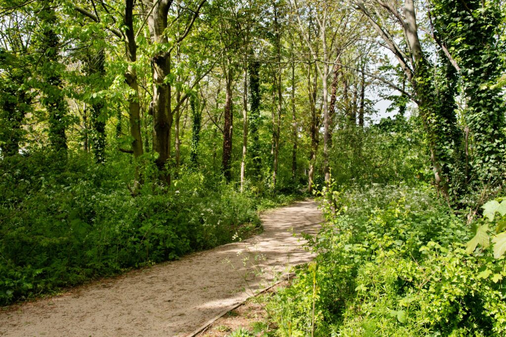
These woodlands run between Wells Way and Southampton Way at the western end of the park. The oldest woodland area in Burgess Park, it’s been identified by London Wildlife as the area with the highest value for wildlife because it is the most established. It was improved in 2018 when a small new parcel of land was incorporated into the park, and New Church Road (New Church Road | Bridge to Nowhere (friendsofburgesspark.org.uk) was removed creating the woodland edge and new meadow area. Gravel pathways were laid out along the edge and through the woodlands to increase accessibility to all.
This is a unique area of the park as the edge of the park is not a road but the boundary with the backs of properties along Parkhouse St and Southampton Way, which gives it a quiet feel away from the noise of busy London. Land here is to be developed, and the Friends have tried to stop tall buildings which would overshadow the woodland at vital times, having a huge impact on the amount of sunlight required to warm the soil in spring and start growth at the right time.
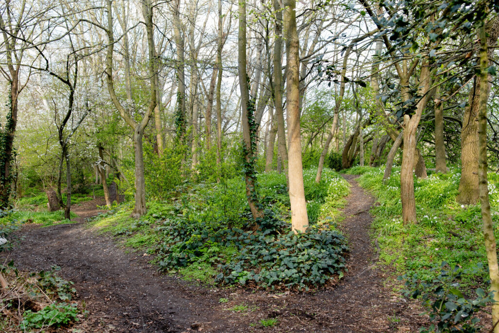
The woodlands are between Albany Road and the lake forming a barrier from the busy road. The terrain has some hills and hollows with many informal pathways through the woodland, some quite steep.
The Albany Road woodlands were improved and enlarged in 2010 with the addition of a ‘wet woodland’, this included moisture loving species like Willow and Alder. In early spring the Alder has small green catkins. Other species include yew, hazel, cherry and holly.
The copses run parallel with St George’s Way, with patches of small trees, creating a buffer to the road and park edge. Open grassy areas run between the copses, meaning that this space is light open and sunny. Take a wander through the copses and along the woodland path installed by volunteers winter 2023.
Planted in the 1990’s this is quite a young woodland, one which with appropriatemaintenance we hope will grow into a beautiful and varied mature woodland area.
The nature area is a shady spot with well established trees and a woodland undergrowth. It runs through between two houses on Cobourg Road and comes out at the corner of Nile Terrace/Oakley Place. A quite grassy route between banks of trees comes out near the rugby/cricket pitch bringing you back towards the sports pitches on Waite Street.
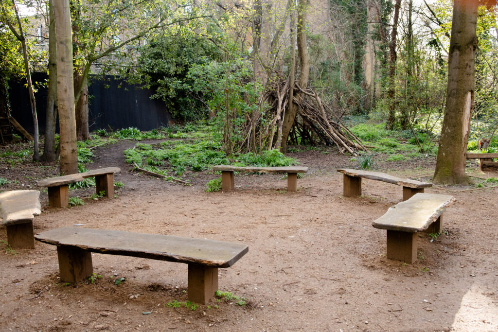
This small woodland space is used by 1st Place Children and Parents’ Centre and other early years and nurseries for Forest School activity. Benches and a small circle of wooden log seats make it a place to stop and rest a while. The gates may be locked sometimes during the day when the Forest School sessions are running.
Originally a bridge crossed over the canal at this point, but was filled in by the 1960’s using old industrial and other waste with a thin layer of top soil. More info about the history of this area can be found here. This area leads onto the Surrey Canal Walk and was planted with woodland tree species in the 1990’s by Groundwork London. The main path rises up to the top of the bank and follows the edge of the woodland overlooking long grassland. Common species here are Field Maple Acer campestre, Ash Fraxinus excelsior, Hawthorn Crataegusmonogyna and Blackthorn Prunus spinosa. Lime Tilia spp were planted across the bank, but have struggled to get a foothold in what is essentially landfill.